Product Overview
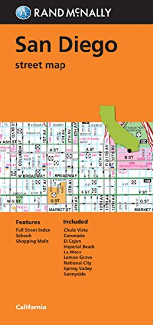
Streetwise San Diego Map - Laminated City Center Street Map of San Diego, California - Folding pocket size travel map with trolley lines & stations
This map covers the following areas:
Main San Diego Map 1:18,000
San Diego Area Map 1:55,000
Old Town Map 1:23,000
La Jolla Map 1:28,000
Welcome to San Diego, the second largest city in California. Mexico, the Pacific Ocean, the Anza-Borrego Desert and the Laguna Mountains surround San Diego and are all contributing factors to the ideal climate. With seventy miles of beaches, the Gaslight District, Sea World Adventure, LEGOLAND, La Jolla shopping and the San Diego Zoo; whatever your pleasure, San Diego is the ultimate playground for the whole family. To help get the most out of your visit, carry the STREETWISE map of San Diego.
Lions and tigers and bears, oh my! Yes, the zoo is a must see. Over 4,000 animals, living in habitats that rival Mother Nature herself, create one of the best animal experiences youll ever find. The Panda bears, on loan from China, are a big draw, but there is so much to see here that even if you miss these black and white fluff balls your day will be full.
Balboa Park, where the zoo is located, has many other attractions youll want to include the Spanish Village Arts Center-35 art studios in a recreated Spanish town square, the Timken Museum-a jewel of a small museum with European Old Masters' paintings, House of Pacific Relations historic cottages host cultural festivals, San Diego Aerospace Museum take a simulated walk in space, The Old Globe and Junior Theatre-offering performances for all ages throughout, Hall of Champions Sports Museum-from Ted Williams to Tony Hawk, the San Diego Museum of Art-the regions oldest and largest, the Museum of Man-devoted to anthropology (more exciting than it sounds) and the Japanese Friendship Garden. Thats just a partial list. Theres also Butterfly rides, a carousel, lawn bowling, a miniature railroad you can ride and, of course, the Spreckles Organ Pavilion. Walk along the Prado Walkway around the Casa del Prado and admire the Spanish Colonial architecture. These buildings were part of the 1915 Panama-California Exposition celebrating the completion of the Panama Canal.
After Balboa Park, its nice to take the scenic drive marked by blue and yellow signs with a white seagull. This route will take you through a majority of the sites of San Diego and is a pleasant way to spend three or more hours touring the area. Or you can hop on the Blue line trolley and take a trip to Tijuana. The 45 minute trolley ride takes you right to the border crossing at San Ysidro, just across the border from Tijunana. Once you pass customs you can pick up the Border Shuttle (look for the big blue busses) and for $1.00 ride into the center of town. Dont forget your passport if you plan to visit Mexico.
The area inset on the STREETWISE San Diego Map will navigate you in and around the city region to places like San Diego International Airport, Pacific Beach, Coronado Island, Point Loma, La Jolla, and the University of California at San Diego. Youll also find enlarged inset maps featuring Old Town and a detailed street map of La Jolla. A complete index of streets, hotels, points of interest, shopping, education, culture, transportation and parks is clearly listed on the map.
Our pocket size map of San Diego is laminated for durability and accordion folding for effortless use. The STREETWISE San Diego map is one of many detailed and easy-to-read city street maps designed and published by STREETWISE. Buy your STREETWISE San Diego map today and you too can navigate San Diego, California like a native. For a larger selection of our detailed travel maps simply type STREETWISE MAPS into the Amazon search bar.


