Product Overview
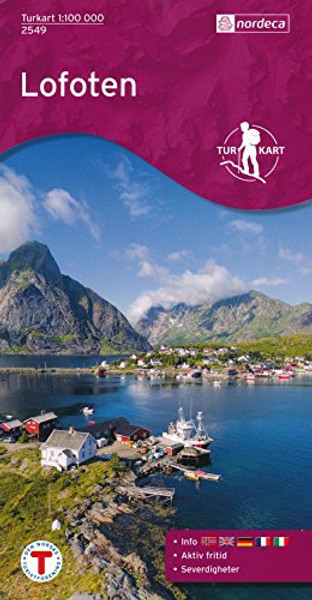
Lofoten (Norway) 1:100,000 Topographic Map #2549, GPS-compatible
Lofoten Islands on a GPS compatible recreational map at 1:100,000 ( 1 inch = 1.58 miles) with cartography from Norway's topographic survey. Sheet size 92 x 69 cm / 36 x 27 . Printed on waterproof material.
The landscape of the islands is presented by contour lines (at 20m intervals), elevation colouring and spot heights. Public and private roads, air strips, ferry routes and power lines are shown. The overprint includes local footpaths as well as mountain huts and campsites. Ski routes, skiing slopes and ski lifts are indicated as well as places of interest. The map has a UTM grid and margin ticks giving latitude and longitude at 10' intervals. Map legend includes English. On the reverse is an additional tourist information in Norwegian, English, German, French and Italian.
Though lying within the Arctic Circle, the Lofoten archipelago experiences one of the world's largest elevated temperature anomalies relative to its high latitude.


