Product Overview
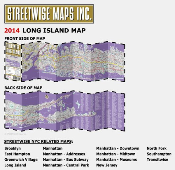
Streetwise Long Island Map - Laminated Regional Road Map of Long Island, New York - Folding pocket size travel map with integrated LIRR tracks & stations
This map covers the following areas:
Main Long Island Map 1:180,000
From Manhattan to Montauk with major roads and sites in between. Simply put, this is what the STREETWISE Long Island Map is all about. So if you plan to travel in and out of Macarthur Airport in Islip, this map will get you there. A day trip to Jones Beach or the North Fork wineries, this STREETWISE map of Long Island will not only get you there, it will give you a list of wineries to visit. Planning a weekend visit to the Hamptons, this map will get you there. Trying to take the back road route so you can avoid the parking lot that is the Long Island Expressway on a Friday night in the summer, this map will get you there.
You can experience a multitude of places using the STREETWISE map of Long Island, New York. The complete index of towns, points of interest, shopping, education, culture, transportation and parks, makes this map an invaluable resource tool for navigating the entire Island, especially on a Friday night in the summer.
Our pocket size map of Long Island is laminated for durability and accordion folding for effortless use. The STREETWISE Long Island map is one of several detailed and easy-to-read regional road maps designed and published by STREETWISE. Buy your STREETWISE Long Island map today and you too can navigate Long Island like a native. For a larger selection of our detailed travel maps simply type STREETWISE MAPS into the Amazon search bar.


